




Texas Real Estate Drone Photography: Taking Your Properties to the Sky
Share:
Table of Contents
- 1. Key takeaways
- 2. Why Texas real estate needs drone photography and the rules for flying
- 3. The 5 best Texas real estate drone photography providers
- 4. How to choose a Texas real estate drone photography provider and why editing still matters
- 5. Frequently asked questions about Texas real estate drone photography
- 6. Conclusion: fly smart, edit smarter
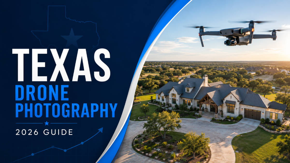
Texas real estate drone photography gives buyers a view that ground-level images simply cannot provide. From sprawling ranches and Hill Country acreage to golf-course estates and urban developments, aerial photography reveals lot size, surrounding land, views, access points, and neighborhood context in a single frame. For Texas agents and brokers, drone imagery has become an important part of presenting properties more clearly and competitively online.
Producing effective aerial media, however, requires more than putting a drone in the air. Commercial shoots must follow FAA requirements, many Texas markets sit near controlled airspace, and changing wind, heat, and harsh sunlight can affect image quality. Just as importantly, professional editing is what turns raw aerial footage into polished listing visuals that highlight the property without looking artificial. This guide explains why aerial coverage matters for Texas listings, the key rules and shooting conditions to consider, five leading providers worth comparing, how to choose the right service, and why post-production plays a major role in the final result.
1. Key takeaways
- Texas real estate drone photography is essential for large-acreage, ranch, and luxury listings where lot size, land, and context drive value.
- Commercial drone work in Texas requires an FAA Part 107 licensed pilot, and much of the DFW and Houston metros sits in controlled airspace needing authorization.
- Five strong providers: Drone Bros Texas, Big Air Photo & Video, Texas Drone Services, Texas Drone Media, and Square Foot Photography, cover the major markets.
- The raw aerial file is only the start; professional drone photo editing and virtual twilight conversion are what make the final image sell, and outsourcing that post-production keeps every listing consistent.
2. Why Texas real estate needs drone photography and the rules for flying
Texas real estate needs drone photography because so much of what gives a Texas property its value lives above eye level or beyond the front yard. Land, acreage, water frontage, privacy, proximity to amenities, and the sheer scale of a ranch or estate are invisible in a standard photo but obvious from 200 feet up. In a competitive market where buyers relocate from out of state and shop online first, the aerial view is often what makes a listing feel worth a flight to tour in person.
The behavior of today's buyers makes the case stronger. The National Association of REALTORS® reports in its research that the home search now begins online for essentially every buyer, and that 88% of buyers purchased through an agent whose listing photos are the first thing they judge. When a relocating executive in California is deciding which Austin or Dallas homes are worth a weekend trip, the drone shot that shows the lot, the pool, and the neighborhood does more to earn that visit than any interior photo. Texas real estate drone photography, in other words, is how a listing wins the online round that now decides everything.
2.1. What makes Texas listings different
Texas listings skew toward the kind of properties aerial coverage was made for. Sprawling suburban developments around Dallas–Fort Worth, Hill Country estates near Austin, sprawling ranches, and large-acreage rural parcels all depend on showing land and layout that ground photos flatten. Aerial photography for large acreage is practically mandatory here: a buyer considering a 25-acre property needs to see the boundaries, the outbuildings, the pond, and the road access as a single coherent picture. Even in dense urban cores, a drone shot communicates walkability, skyline views, and neighborhood character that sell the lifestyle around the home.
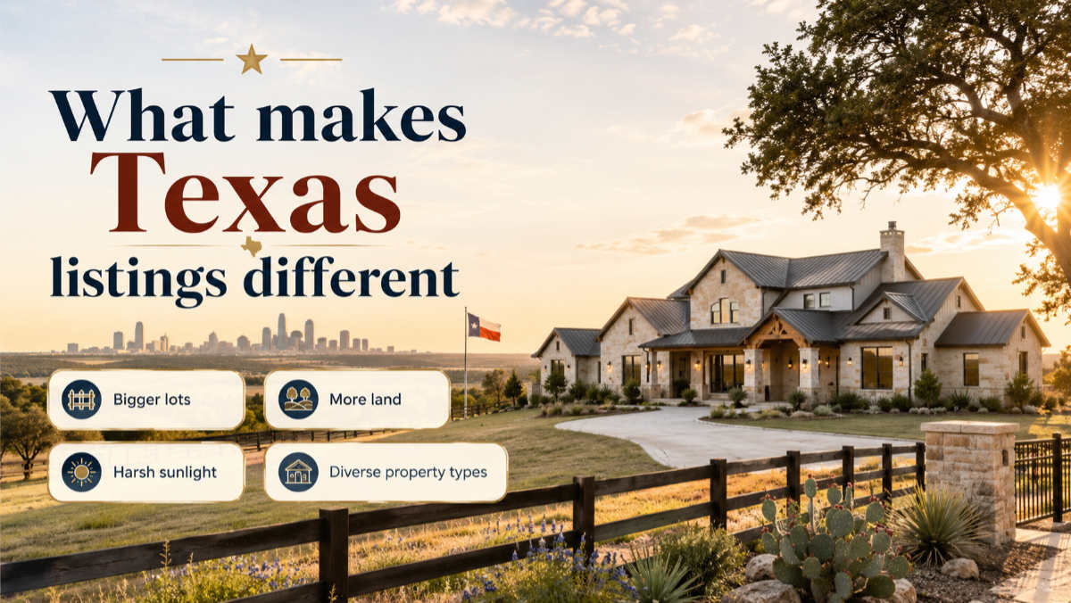
The diversity of Texas markets is part of why aerial work matters so much. A waterfront home on Lake Travis, a horse property outside Fort Worth, a new-construction community in Frisco, and a downtown Houston condo each need a different aerial story: boundary and water access for one, arena and pasture for another, amenity layout for the third, and skyline context for the last. A single ground-level gallery flattens all of that into ambiguity, whereas one well-composed aerial answers a buyer's biggest unspoken question: what is it actually like to stand here and look around? That is why Texas real estate drone photography has become a default line item on listings well below the luxury tier, not just on trophy estates.
2.2. FAA Part 107 and Texas shooting conditions
Flying a drone commercially in Texas is regulated, and cutting corners exposes both agent and photographer to liability. Any paid real estate drone work legally requires a pilot certified under the FAA's Part 107 rules, and large parts of the DFW and Houston metros fall within controlled airspace around major airports, requiring LAANC authorization before takeoff. Beyond the paperwork, the Texas environment demands skill: intense sun creates harsh shadows and blown-out skies, summer heat and humidity affect battery life, and open plains bring gusty winds that challenge stability. Experienced Texas drone pilots plan shoots around the golden hours and check both weather and airspace before every flight.
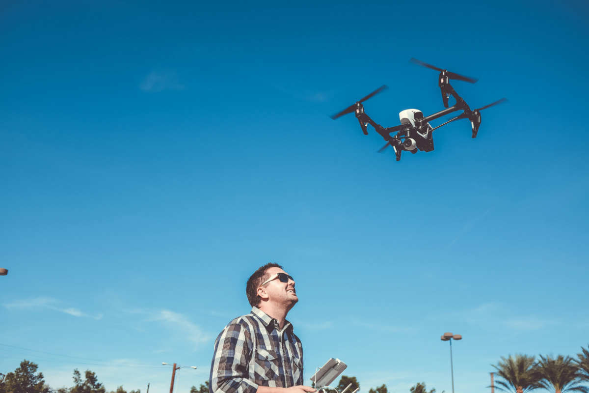
There are practical scheduling lessons in all of this. The best light for exteriors comes in the first hour after sunrise and the last before sunset, which also happens to be when Texas heat and wind tend to ease, so a pilot who books those windows gets steadier flights and better color. Airspace is the other constraint that shapes timing: near Dallas Love Field, DFW International, or Houston's Hobby and Bush airports, a flight may need advance authorization or be restricted altogether, so a provider who checks LAANC and files ahead avoids day-of surprises. None of this is a reason to skip aerials; it's a reason to hire a licensed professional rather than attempt Texas real estate drone photography with a consumer drone and no certification.
3. The 5 best Texas real estate drone photography providers
The best Texas real estate drone photography providers combine FAA-licensed pilots, real estate specialization, and coverage of the major metros. The five below are established, verifiable companies serving Texas listings across DFW, Austin, Houston, and San Antonio. Details like pricing and coverage come from each provider, so confirm current rates and availability on their own sites before booking. This isn't an exhaustive ranking so much as a strong shortlist to start from, chosen for clear real estate focus and stated FAA licensing.
3.1. Drone Bros Texas
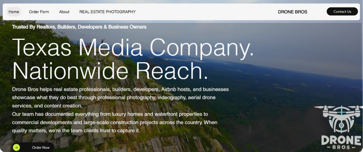
Drone Bros Texas markets professional real estate photography, drone imagery, floor plans, and video tours to realtors, builders, and developers statewide. Their FAA-certified team highlights exactly the deliverables Texas listings need HDR interiors, twilight exteriors, and aerial tours of large-acreage properties. The statewide coverage makes them a flexible option for agents working across multiple Texas markets.
3.2. Big Air Photo & Video
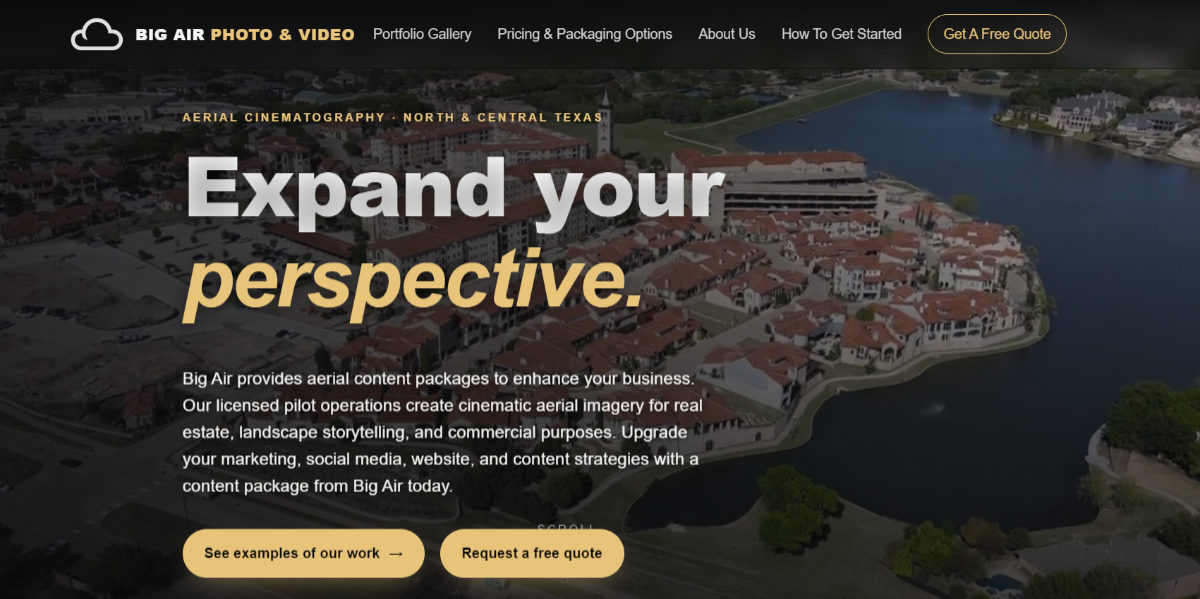
Big Air Photo & Video provides FAA Part 107 licensed drone photography and aerial cinematography across Dallas, Fort Worth, Austin, and North and Central Texas. They publicly list packages starting around $500 and cover real estate alongside landscape and commercial aerial production. The clear FAA licensing and transparent starting price make them an easy first call for agents in the DFW–Austin corridor.
3.3. Texas Drone Services
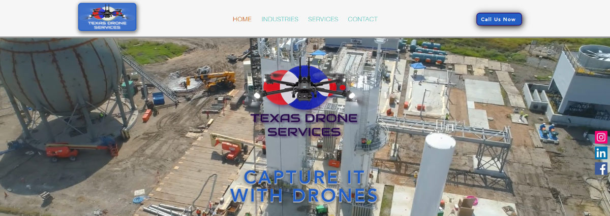
Based in Houston, Texas Drone Services offers professional drone photography, videography, mapping, and inspection across the state, with real estate among its core specialties. Their breadth across sectors signals experienced pilots and equipment, useful for complex or large commercial listings. For Houston-area agents, a local team that knows the metro's airspace is a practical advantage.
3.4. Texas Drone Media
Texas Drone Media delivers FAA-licensed drone photo and 4K video across DFW and Central Texas, spanning real estate media and construction reality capture. Their focus on high-quality aerial media for real estate professionals fits agents who want cinematic listing content, not just a single overhead shot. The Central Texas coverage complements the DFW-heavy field well.

3.5. Square Foot Photography
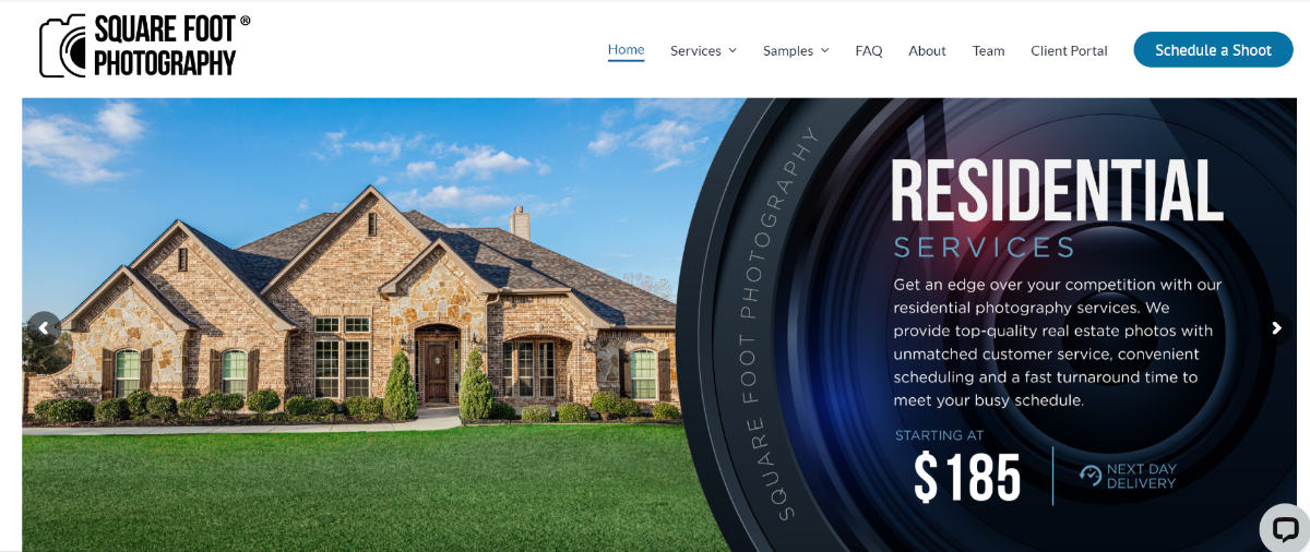
Square Foot Photography is a local Texas company providing real estate photography, 3D Matterport tours, and drone services to professionals in Austin, Dallas, Houston, and San Antonio. Covering all four major metros from one provider simplifies life for agents or brokerages working statewide. The combination of drone plus Matterport under one roof also makes it easy to order a full media package.
Whichever of these you shortlist, treat the first booking as a test. Order a single listing, judge the aerials on composition, exposure, and how well they show the property's land and context, and note how responsive and on-time the team is. A provider that nails a straightforward suburban listing will handle your large-acreage and luxury work well too, and once you find that fit, standardizing on one or two teams keeps your listing media consistent across every market you serve. It's also worth asking each provider how they handle editing, some deliver polished images, while others hand over raw files that still need post-production, which is where the next section comes in.
4. How to choose a Texas real estate drone photography provider and why editing still matters
Choosing a Texas drone provider comes down to matching their licensing, portfolio, and coverage to your specific listing, then remembering that the flight is only half the deliverable. Vet any company on the essentials first, then plan for the post-production that turns raw captures into images that actually move a listing. Getting both halves right is what separates a forgettable aerial from a scroll-stopping one.
4.1. Choosing the right provider
Start with the non-negotiables: confirm the pilot holds a current FAA Part 107 certificate and carries insurance, since anything else is a liability risk. Then review their portfolio for real estate work similar to your listing, large-acreage aerials, twilight exteriors, or urban context shots, and check turnaround time and which Texas markets they cover. Reliable Texas drone photography services will show consistent quality across a body of work, respond quickly, and be clear about pricing before you book. A quick sample or trial on a smaller listing is the safest way to test a new provider.

Also weigh the shape of the deliverable against your workflow. Some agents want a turnkey provider who flies and edits and hands over finished images; others, and most working photographers, prefer to control the shoot and outsource editing separately so the whole listing, ground and air, shares one consistent look. Neither is wrong, but knowing which model you want before you call around saves back-and-forth. Ask each provider how many images and video deliverables a package includes, how revisions work, and whether raw files are available, since those details vary widely and shape the real cost more than the headline price does.
4.2. Why the raw shot isn't enough
Even a perfectly flown drone capture rarely looks its best straight off the memory card, which is where editing earns its keep. Raw aerial files often have flat color, hazy skies, and uneven exposure that need correcting, and the most striking listing images of glowing sunset exteriors are usually created in post as virtual twilight drone photos rather than captured live at dusk. Professional real estate drone photo editing handles sky replacement, color and haze correction, and object cleanup, while a specialist can also cut the aerial footage into a polished listing video from drone footage. This is exactly where Fotober fits: many Texas photographers fly the shoot themselves, then outsource the editing, day-to-dusk conversion, and video to a post-production partner. For agents who also need ground-level coverage, Fotober supports real estate photography across Austin and beyond, so a whole listing's media stays consistent.
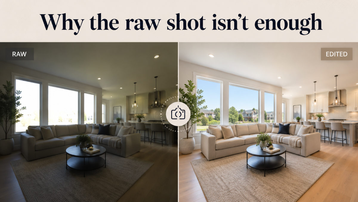
The consistency point is worth underlining. When aerials, interiors, and exteriors are all edited by the same team to the same standard, a listing reads as one polished production rather than a patchwork of mismatched color and exposure. A gorgeous drone shot cut against yellow-tinted interior photos quietly cheapens the whole gallery, and buyers feel that incoherence even if they can't name it. Outsourcing post-production to a single partner solves it: you get uniform color, clean skies, and matched twilight across every image, whether the capture came from a Texas drone team's memory card or your own camera on the ground.
4.3. Where Fotober fits into the workflow
Fotober fits best on the post-production side of Texas real estate drone photography, especially for photographers, agencies, and drone operators who want to keep capture in-house while outsourcing the editing. Instead of rebuilding an editing workflow for every listing, teams can send aerial and ground-level files to one partner for color correction, exposure balancing, sky enhancement, object removal, day-to-dusk conversion, and final delivery. That keeps production scalable without forcing the photographer or agent to spend hours behind a screen after every shoot.
The same approach also helps when a listing includes more than aerial stills. Fotober can support real estate drone video editing, day-to-dusk conversion, and broader real estate photo post-production, making it easier to keep drone footage, exterior images, and interiors visually consistent across the same campaign. For Texas professionals handling multiple shoots per week, that consistency can be more valuable than simply making one aerial image look dramatic.
A practical way to use Fotober is to separate capture from production: the local pilot handles FAA compliance, airspace, weather, and composition, while Fotober handles the editing and finishing work afterward. This gives agents and photographers more flexibility when choosing a drone provider because they are not limited to companies with the strongest in-house editing team. It also creates a repeatable workflow that can scale from a single residential listing to a larger portfolio without changing the visual standard from project to project.
5. Frequently asked questions about Texas real estate drone photography
Do I need an FAA license for real estate drone photography in Texas?
Yes. Any commercial or paid drone work in Texas requires a pilot certified under the FAA's Part 107 rules, and flights in controlled airspace near airports need LAANC authorization. Hiring an unlicensed operator exposes both the agent and the brokerage to liability.
How much does Texas real estate drone photography cost?
Pricing varies by provider and package, but aerial photography packages commonly start around $500 and scale with the number of images, video, and add-ons. Confirm current rates directly with each company, since costs depend on property size, location, and deliverables.
Is drone photography worth it for smaller Texas listings?
Often yes, even for standard lots. A single aerial establishing shot communicates neighborhood context, lot boundaries, and proximity to amenities that ground photos miss. For large-acreage or luxury listings, aerial photography is essentially expected by buyers.
Why do drone photos need editing?
Raw aerial files typically have flat color, hazy skies, and uneven exposure. Professional editing corrects those issues, replaces dull skies, and can create virtual twilight drone photos that look far more striking than the original capture. Editing is what makes the shot listing-ready.
Can one provider cover all of Texas?
Some can. Statewide providers and multi-metro companies cover DFW, Austin, Houston, and San Antonio, while others focus on a single region. For a brokerage working across markets, a statewide provider or an editing partner that standardizes the final look keeps media consistent.
6. Conclusion: fly smart, edit smarter
Texas real estate drone photography has become a baseline expectation, not a luxury; the land, scale, and context that define Texas property only come through from the air. Hiring an FAA-licensed provider who knows the state's airspace and conditions gets you the capture, and the five companies above are a strong starting shortlist across the major metros. But the image that actually sells the home is the finished one, polished in post; the capture and the edit are two halves of the same deliverable, and skimping on either shows.
That's the half of the job Fotober is built for. Whether you fly your own drone or hire one of these Texas teams, Fotober handles the editing that makes aerials shine: sky replacement, color and haze correction, virtual twilight, and cutting drone footage into listing video with per-image pricing and fast turnaround, so you get magazine-quality results without building an in-house editing desk. Send your next Texas shoot and see the difference professional post-production makes. Place an order or start a free trial today.
Connect with Fotober
- Facebook: fotobermedia.co
- YouTube Channel: Fotober
- TikTok Channel: @fotober
- Instagram: fotober_media
- Email support: [email protected]
- Hotline: +84 942 110 297
Related posts

Modern Luxe Interior Design: Elements, Style Guide and How to Stage It
October 10, 2026

Minimalist Interior Design: Characteristics, Style Guide, and Staging
October 8, 2026

Coastal Interior Design: Style Definition & Staging Guide
September 30, 2026

Contemporary Interior Design: Key Elements and How to Stage This Style
September 30, 2026
