
Aerial Photography Real Estate Cost & Pricing: 2025 Price Guide
.png)

Share:
Table of Contents
- 1. Why Use Drones for Real Estate Photography?
- 2. What Is the Drone Real Estate Photography Cost for Aerial Shots?
- 3. Understanding Drone Real Estate Photography Cost
- 4. Additional Services and Their Costs
- 5. How to Choose a Drone Photographer for Real Estate
- 6. Fotober is The Best Real Estate Photo Editing Service for Agents
- Conclusion
Drone photography has transformed real estate marketing by offering stunning aerial perspectives. The demand for this service has surged by 239% since 2021, highlighting its growing role in property marketing strategies. In this article, Fotober explores aerial photography real estate cost, covering everything from basic packages to premium services, helping agents make informed decisions about their marketing investments.
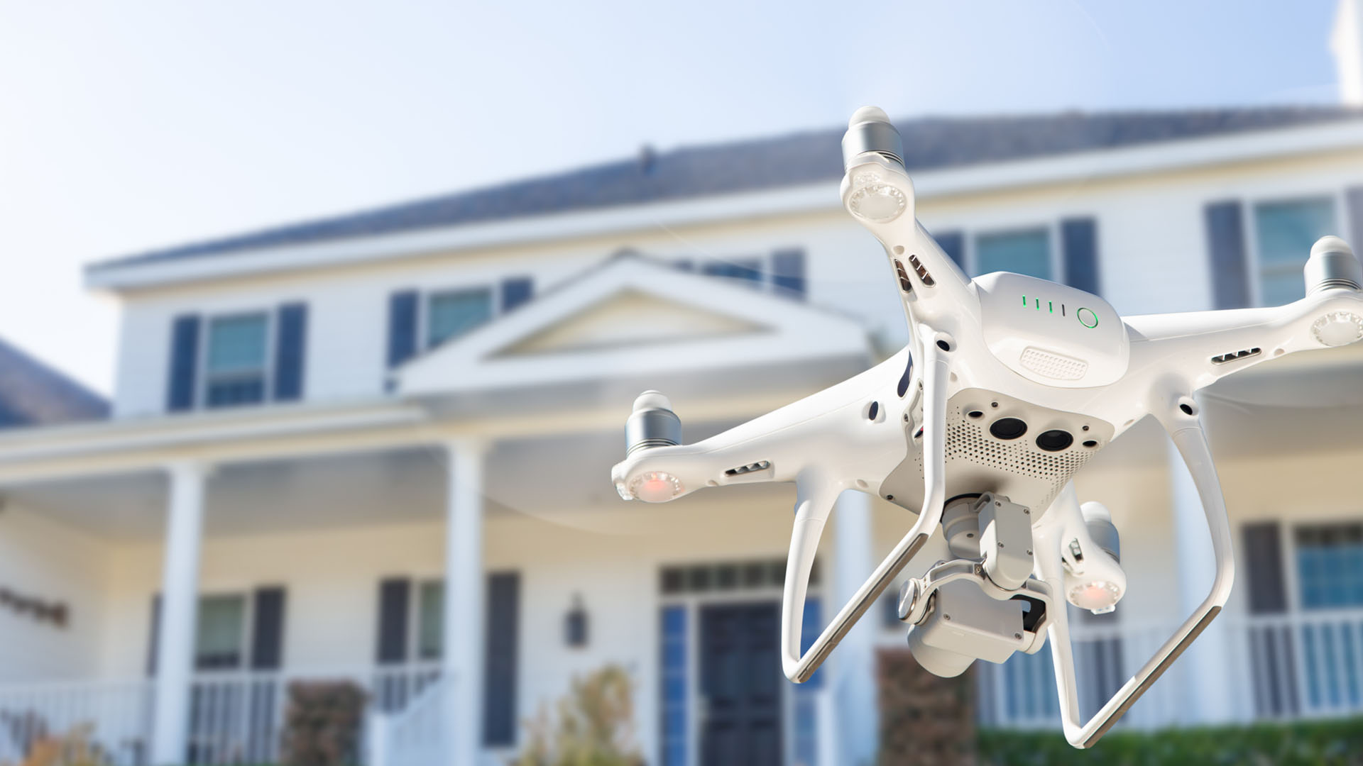
1. Why Use Drones for Real Estate Photography?
Listings featuring drone photos consistently attract significantly more attention than those relying solely on ground-level shots. Aerial photography offers a distinctive perspective, highlighting a property's true scale, surroundings, and landscape in a way that traditional photos cannot. To maximize the visual impact of these images, professional real estate photo editing remains crucial for enhancing clarity, color balance, and overall presentation.
-
Clarity in Property Visualization: Research shows that 73% of homebuyers better understand lot dimensions and property boundaries through aerial images. This comprehensive view builds buyer confidence, making drone photography a powerful tool for visualizing property size and layout.
-
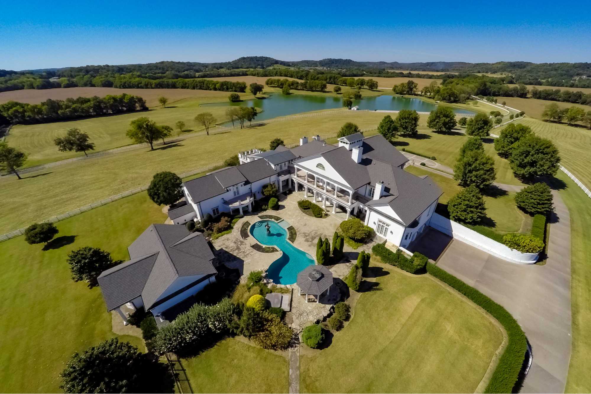
Showcasing Amenities and Context: Aerial shots effectively demonstrate a property's relationship to surrounding amenities like parks, water bodies, and shopping centers—all factors that influence buying decisions. This broader context is invaluable for marketing luxury properties, large estates, and commercial listings.
While the benefits are clear, agents must be strategic. Understanding the aerial photography real estate cost is important when budgeting for these high-quality visuals. Investing in professional aerial imagery ensures your marketing materials stand out and justify the expense by driving higher engagement.
2. What Is the Drone Real Estate Photography Cost for Aerial Shots?
The exact drone real estate photography cost for aerial shots varies significantly based on factors like property size, shoot complexity, and the photographer’s expertise. Understanding these variables is essential for budgeting your marketing effectively.
Pricing Structure Overview
Professional drone pilots typically structure their pricing in a few common ways:
- Hourly and Daily Rates: Rates generally range from $100 to $500 per hour, depending on the pilot's experience and equipment. A comprehensive full-day shoot can cost anywhere from $500 to $2,500 or more.
- Square Footage Pricing: Some services offer predictable pricing based on the size of the property, ensuring the aerial photography real estate cost scales with the required work:
- Under 2,000 sq. ft.: $150 - $250
- Under 3,000 sq. ft.: $250 - $350
- Under 4,000 sq. ft.: $350 - $450
- Under 5,000 sq. ft.: $450 - $550
Factors Increasing Real Estate Drone Photography Cost
Be aware that certain scheduling and location factors can significantly influence your final invoice:
- Premium Time Slots: Photographers often charge premium rates for specific, high-demand times: Weekend shoots may incur a 25% to 50% premium, and Golden Hour sessions can increase fees by 35% to 75%.
- Rush Orders: Same-day bookings typically incur a high 100% rush fee.
- Market Demand & Travel: Metropolitan areas command higher base rates. For rural areas, travel fees (e.g., $0.58 per mile) are often added beyond a set radius, increasing the overall aerial real estate photography cost.
In many cases, the most efficient approach is choosing a package where Real Estate Drone Photography is bundled with other visual services (like ground photos or video), which allows agents to optimize their marketing spend and achieve a polished listing presentation.
3. Understanding Drone Real Estate Photography Cost
Understanding the specific components of drone photography costs helps agents budget effectively and evaluate service packages. The factors influencing aerial photography real estate cost go beyond simple flight time, encompassing preparatory work and post-production.
The base cost of a professional shoot is built upon the following service elements:
- Flight Planning and Permits: This covers the time required for pre-flight safety checks and securing any necessary permits, typically costing between $50–$100.
- Equipment Setup and Calibration: Time spent on-site setting up the drone, checking calibration, and ensuring the perfect vantage point, estimated at $75–$150.
- Actual Flight Time: The core service component, generally priced around $100–$200 per hour.
- Basic Editing: The initial processing of the raw footage, which can range from $50–$100.
- Delivery and Revisions: Ensuring the final media is delivered and handling minor adjustments, often priced between $25–$75.
Real estate agents should generally expect to invest between $300 and $600 for a standard aerial photography package. This investment typically includes 10-15 edited photos and basic video footage. Location accessibility and the overall project complexity can affect these base rates.
Time-of-day considerations also impact pricing significantly. Shoots during the early morning or late afternoon (Golden/Blue Hour) provide optimal lighting but command premium rates. Twilight sessions, particularly effective for luxury properties, can cost 50%–100% more than standard daytime shoots. Furthermore, professional operators factor their high equipment costs into their pricing. The investment in high-end drones, backup equipment, and comprehensive insurance contributes to base rates, ensuring reliable service delivery and the highest quality results.
4. Additional Services and Their Costs
The Real Estate Digital Marketing Association reports that combining services often provides better value. Here's what to expect for popular add-ons and how they may impact aerial real estate photography cost:
Extra Service Pricing:
- 3D mapping: $200 - $400
- Virtual tour integration: $150 - $300
- Raw footage delivery: $100 - $200
- Same-day delivery: +50% rush fee
- Cinematic video packages: $500 - $1000
- Time-lapse sequences: $250 - $500
Seasonal considerations affect pricing and availability. Many drone photographers charge premium rates during peak real estate seasons. Weather rescheduling policies and backup dates should be clearly outlined in service agreements.
Complex properties requiring multiple flights or special permissions may incur additional costs. Photographers factor in extra time and equipment needs when quoting these projects.
5. How to Choose a Drone Photographer for Real Estate
The Commercial Drone Pilots Association emphasizes certification and experience. Their data shows that properly licensed drone operators deliver 40% better results than amateur photographers, making the aerial photography real estate cost a worthwhile investment for high-quality visuals, especially when using the best drones for real estate to maximize image clarity and efficiency.
Essential Qualifications:
- FAA Part 107 certification
- Commercial drone insurance
- Real estate portfolio
- Post-processing expertise
- Local market knowledge
Look for photographers with specific real estate experience. Professional operators should provide sample galleries and client references. Their work should demonstrate consistent quality across different property types.
Communication and reliability prove crucial for successful projects. Professional operators should provide clear contracts, scheduling protocols, and delivery timelines. They should also maintain backup equipment and contingency plans for technical issues.
6. Fotober is The Best Real Estate Photo Editing Service for Agents
Fotober stands at the forefront of real estate visual enhancement, combining technical expertise with market-driven creativity. Our comprehensive services transform ordinary property photos into compelling marketing assets that drive buyer engagement and accelerate sales.
Fotober's editing expertise transforms raw drone footage into compelling marketing assets. Our technicians understand real estate marketing requirements and deliver optimized images that attract potential buyers. Additionally, we recognize that aerial photography real estate cost is a crucial factor for realtors and investors, ensuring our services provide both quality and value. Our team stays current with real estate photography trends, delivering results that consistently exceed industry standards.
Quick turnaround times and reliable quality make Fotober an ideal partner for busy real estate professionals. We maintain consistent communication throughout the editing process, providing regular updates and accommodating specific client preferences. Our streamlined workflow helps agents manage multiple listings efficiently while maintaining high-quality standards across their entire portfolio.
Conclusion
The aerial photography real estate cost is a significant but worthwhile investment in real estate marketing. Standard packages typically range from $250 to $1,200, allowing agents to select services that align with their property's needs and budget.
When paired with professional editing services like Fotober, drone photography creates compelling visual narratives that capture buyer attention and enhance property sales. While requiring an initial investment, this strategic approach to property marketing consistently delivers superior results in today's competitive real estate market.
Related posts

Win Bookings with a World Cup 2026 Rental Property Video Walkthrough
July 16, 2026
Double Your Booking: Airbnb Photography Tips for World Cup Host Cities
July 15, 2026
The Legacy of Sam Neill Real Estate: Vineyard & His Private Sanctuary
July 14, 2026

World Cup 2026 Host City Real Estate: Overview & Marketing Strategies
July 13, 2026
