
How To Master The Art Of Aerial Photography In Real Estate
.png)

Share:
Table of Contents
Looking to improve your real estate aerial photography? Fotober shares expert strategies to help you capture stunning drone shots that boost listing appeal. In today’s competitive market, aerial photography offers a powerful way to showcase property features from unique angles. Whether you're shooting residential or commercial listings, mastering drone techniques is key to standing out.
What is Aerial Photography?
Aerial photography for real estate involves capturing images of a property from an elevated perspective—typically from the sky. This bird’s-eye view offers a broader, more dynamic look at the home, land, and surrounding area, providing potential buyers with valuable visual context they can’t get from ground-level shots.
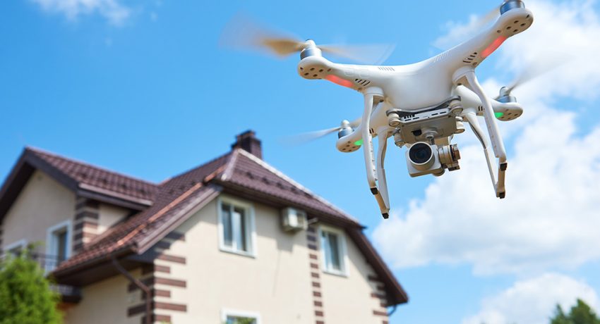
What is Aerial Photography
One of the most popular forms of this technique today is drone photography for real estate, which uses unmanned aerial vehicles (UAVs) to take high-resolution photos and videos. While traditional aerial photography used planes or helicopters, drones have made the process more affordable, flexible, and accessible to real estate professionals.
By showcasing properties from above, aerial real estate photography enhances listing quality, highlights key features like lot size, landscaping, and nearby amenities, and creates a modern, high-tech impression. It’s not just about showing the property—it’s about presenting it creatively and competitively in a crowded market.
5 Tips To Master The Art Of Aerial Photography In Real Estate
1. Stage the House Beforehand
Just like you’d clean up the outside of a property before snapping exterior photos with a handheld camera, getting everything set for a drone shoot requires a little extra effort. It’s not just about tidying up the yard, arranging the outdoor furniture, and making sure the landscaping looks great. A professional drone photographer got to think in three dimensions—giving the roof a good clean and parking all vehicles neatly in the garage. Consider how things look from both ground level and up in the sky!
2. Plan for Traffic
Aerial photography has a special magic in its knack for capturing the broader scene. Just like you’d tidy up the property to minimize trash, it’s important to think about the flow of activity around it.
Consider the various movements that could impact your aerial shots – from cars and pedestrians to folks waiting at bus stops or even boats if you’re by the water. Try pinpointing times when there’s less hustle and bustle, so your UAV drones can truly shine without distractions.
3. Plan for Weather & Light
A professional drone photographer also needs to keep a “weather eye” on the forecast.
Obviously precipitation and wind are bad from both a piloting and photography perspective. But the time of day and the degree of cloud cover will also make a huge difference in terms of light.
You can correct for problems with light and shadow to some degree in post, but it’s easier to process photos when you don’t have to, and you can never eliminate these problems entirely.
Do a little reconnaissance to figure out how the property is oriented and when the important angles are lit the best. Midday is often best for minimizing shadows, but if it’s full sun, the light will be harsh. Shooting through a neutral density filter can help reduce glare.
Partly cloudy days can look great in the background, but an obvious cloud shadow over the property can ruin a shot, and if there’s no wind, you’re stuck. Mostly cloudy days can give you more even light and less harsh shadows, as long as you aren’t trying to get too much sky in the background.
Early in the morning or late in the afternoon, you’re likely to end up with a drone’s shadow from at least one angle. However, the “golden hour,” which occurs shortly after sunrise or before sunset, will enable you to capture warm, soft lighting that enhances the property’s appeal.
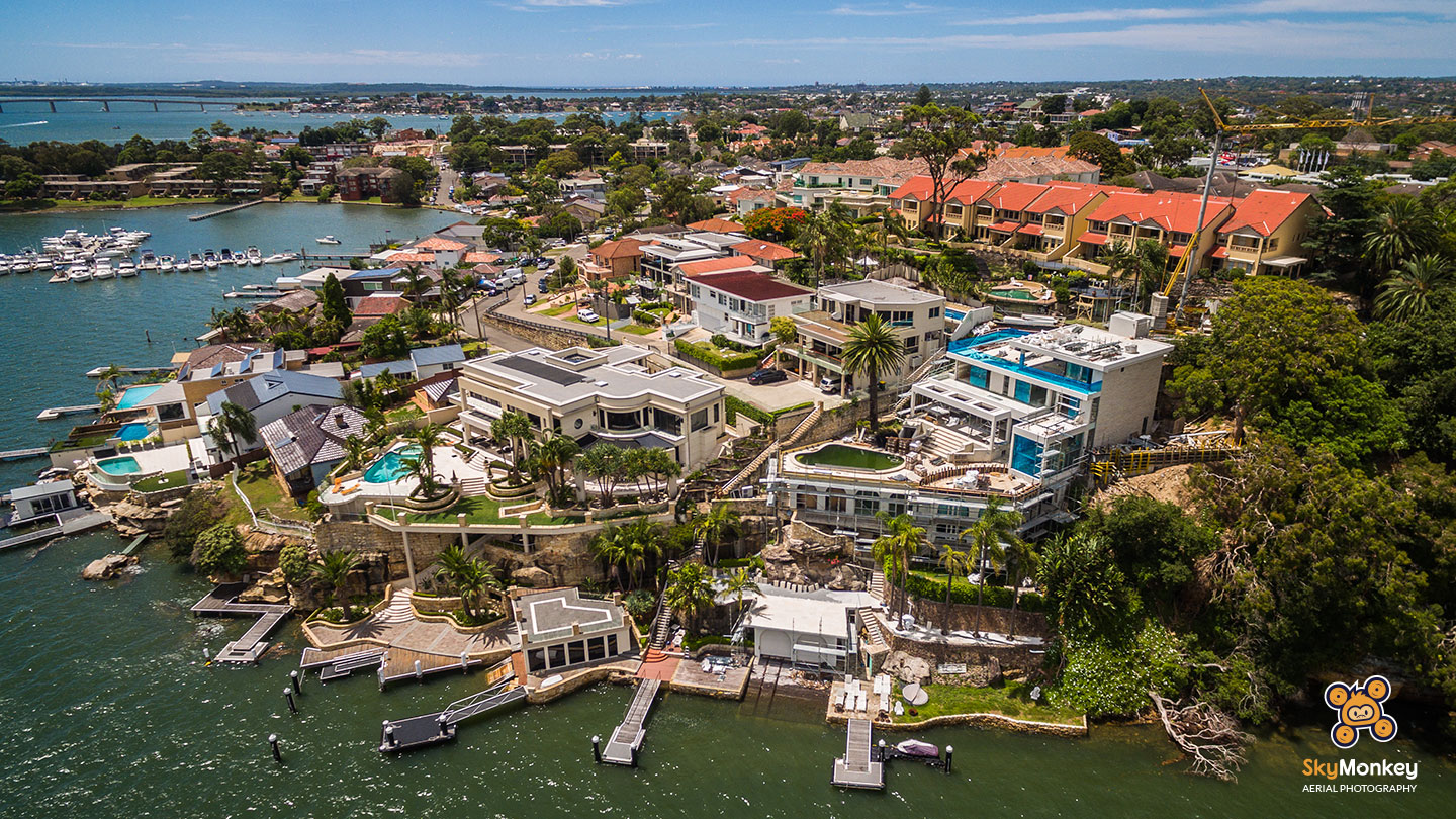
4. Add Variety to Your Shots and Angles!
Mixing up your shots and angles can really add some fresh air to your real estate aerial photography. Instead of just sticking to high-altitude views, take the time to capture the little details of the property, like the blooming flowers in the garden or the inviting deck.
Flying UAV drones at around 20 feet above ground level allows you to strike the perfect balance between showcasing the property as a whole and highlighting its unique features. And don’t forget to snap multiple photos from the same angle, giving you options to choose the best shot later on.
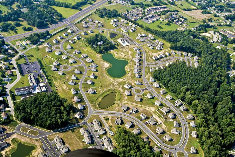
And remember to consider the surrounding location too! Location plays a big role in the value of real estate.
Are there nearby attractions like malls, universities, or highways that could increase the property’s appeal? Keep an eye out for any upcoming developments or projects in the area, as these could also impact your client’s interest in certain aerial shots. By including these key features in your aerial photography, you’ll provide a more comprehensive view of the real estate’s potential.
These diverse perspectives are what separate casual drone users from professionals who specialize in Real Estate Drone Photography, where every angle tells a story and every frame is crafted to sell. The ability to combine technical precision with visual storytelling is what gives your listing a competitive edge.
5. Capture in RAW and Edit Afterwards!
You’ve probably heard that photography is half about taking the shot and half about editing. With the skilled touch of a good photo editor, average aerial pictures can be transformed into stunning visuals. That’s why it’s always a good idea to shoot your real estate photos in RAW format, preserving as much detail as possible. While RAW files may take up more space, ensure your SD card can handle it without compression.
Popular editing tools like Adobe Lightroom and Photoshop allow you to tailor your photos to meet your clients’ preferences. Whether they prefer vibrant colors or more subdued tones, you can adjust the editing accordingly. Many photographers, including professional drone photographers, now outsource their editing to Fotober for quick and polished results.
At Fotober, we specialize in enhancing real estate images through professional real estate photo editing to showcase homes at their best. Our services include image enhancement, object removal, converting occupied spaces to vacant ones, and creating day to dusk transformations. Choosing us as your real estate photo editor offers numerous benefits, ensuring your listings stand out in the competitive market. What sets us apart:
- Affordable rates
- Professional quality
- Swift turnaround times
- Tailored to your preferences
- Enhanced property presentation
Conclusion
Enhancing real estate with the power of UAV drones technology and innovation has propelled the industry to new heights. UAV drones are reshaping the experiences of real estate companies and their clients, setting higher standards in the aerial photography and real estate industries. By easing the challenges of real estate marketing, drones showcase the remarkable progress in technology. As a result, the future of aerial photography in real estate holds great promise, promising growth for both real estate and professional drone photographers. Start your career with us!
Related posts
Houston Virtual Staging: The Best Options for Vacant Listings in 2026
July 31, 2026
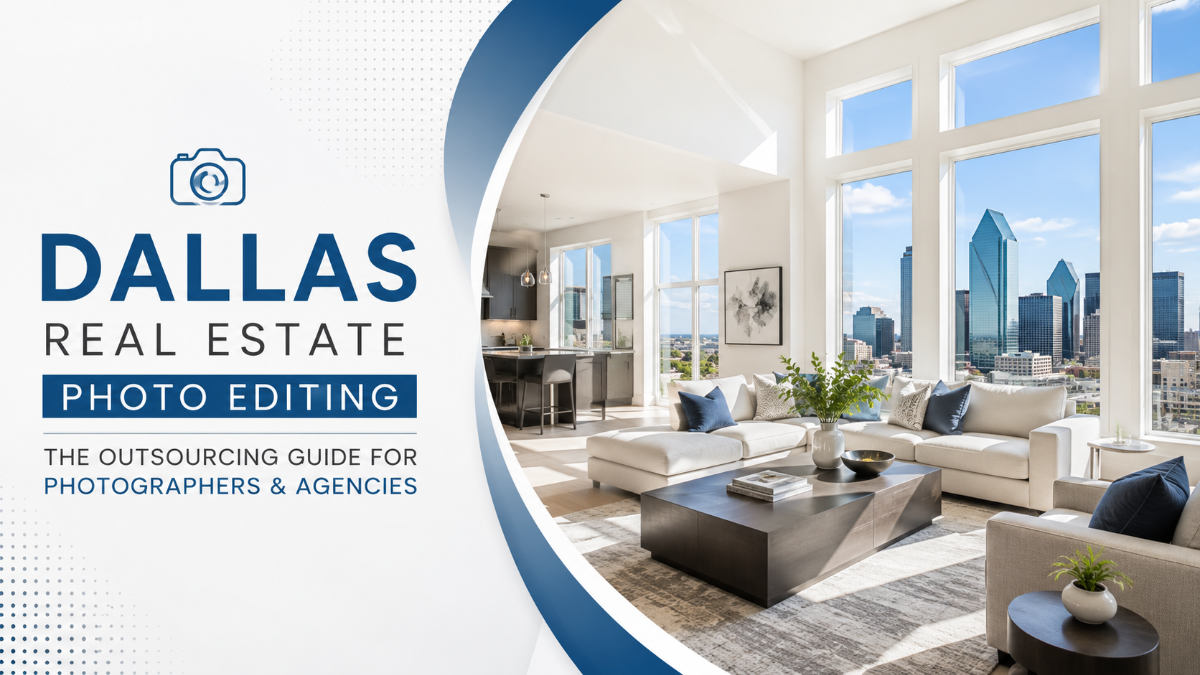
Dallas Real Estate Photo Editing: Outsourcing with 8 Best Services
July 30, 2026
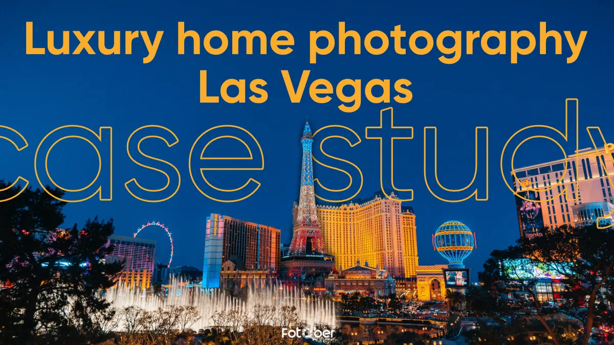
How Luxury Home Photography in Las Vegas Saved a Stagnant $3M Listing
July 30, 2026
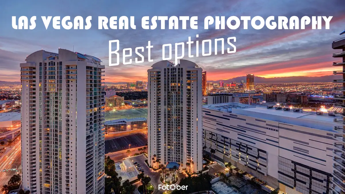
Winning Buyers With These Las Vegas Real Estate Photography Top Picks
July 29, 2026
